Geomatics Engineer | Surveyor | GIS Analyst & Developer

GIS & Remote Sensing · Land Surveying · Spatial Data Analytics · Python Automation · Web GIS

About

Spatial data,
made useful.

I'm a graduate from the University of Lagos (BSc Surveying and Geoinformatics, 2026). Since 2024 I've used Python with QGIS to automate geoprocessing, and I build GIS web applications with Python, FastAPI, Next.js and open-source GIS tools.

My work covers spatial analysis, remote sensing, terrain and hydrological modelling, cartography and data validation. I like building tools that make spatial data easier to use.

Experience

Work and research

Independent GIS and Spatial Data Developer

2024–present

Use Python with QGIS for geoprocessing and automation; write scripts for raster and vector data including DEM, drainage, terrain and land use; build GIS Mapper; and manage spatial datasets in SQLite with validation.
GIS Researcher University of Lagos

2025–2026

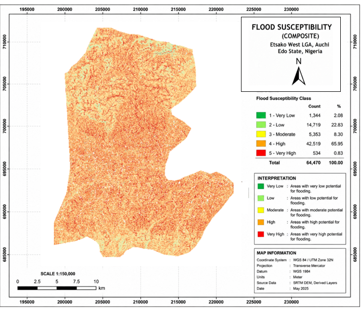
Assess flood, erosion and gully susceptibility in Auchi, Edo State; integrate multi-source data; handle CRS and data quality; and produce maps and reports.

View the Auchi study

GIS and Surveying Intern Ogun State Bureau of Lands and Survey

April–November 2025

Validated survey plans, maintained spatial data in the state GIS database, worked with coordinates, areas and cadastral information using QGIS and ArcGIS, and assisted with GNSS, total station and DGPS work.

AI Data Analyst and Annotator Remote

2023–2026

Reviewed and validated image, text and transcription datasets with quality checks.

Skills

Tools and methods

GIS and spatial analysis

QGIS, ArcGIS, GRASS GIS, WhiteboxTools, remote sensing, LULC and DEM analysis, terrain and hydrological analysis, cartography.

Programming

Python, R, SQL, JavaScript, HTML, CSS.

Python and GIS libraries

GeoPandas, Rasterio, Shapely, Pandas, NumPy, Matplotlib, FastAPI.

Web GIS and data

Next.js, Leaflet, Mapbox, Supabase, SQLite, geospatial databases, data validation.

Education

BSc Surveying and Geoinformatics

University of Lagos, 2026

Coursework: GIS and Remote Sensing, Hydrological Modelling, Photogrammetry, Statistical Analysis, Adjustment Computation, Physical Geodesy.

Projects

Spatial tools
in practice.

Web GIS applications, analysis tools and mapping work.

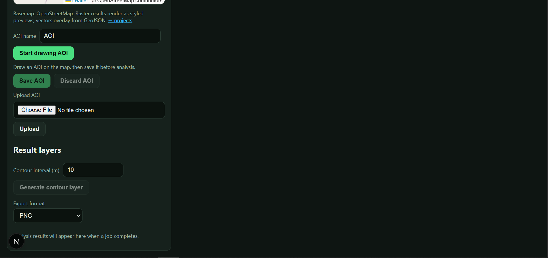
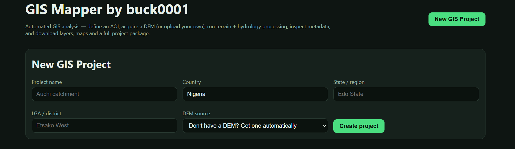
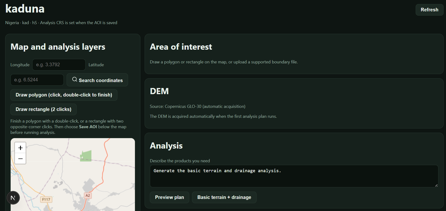
GIS Mapper area-of-interest and terrain analysis interface

GIS Mapper

Runs locally

Define an area of interest, get or upload a DEM, run terrain and hydrology analysis with WhiteboxTools, view result layers, and export PNG/PDF maps with a QA report.

Python · FastAPI · WhiteboxTools · SQLite · Next.js · Leaflet

Check this out
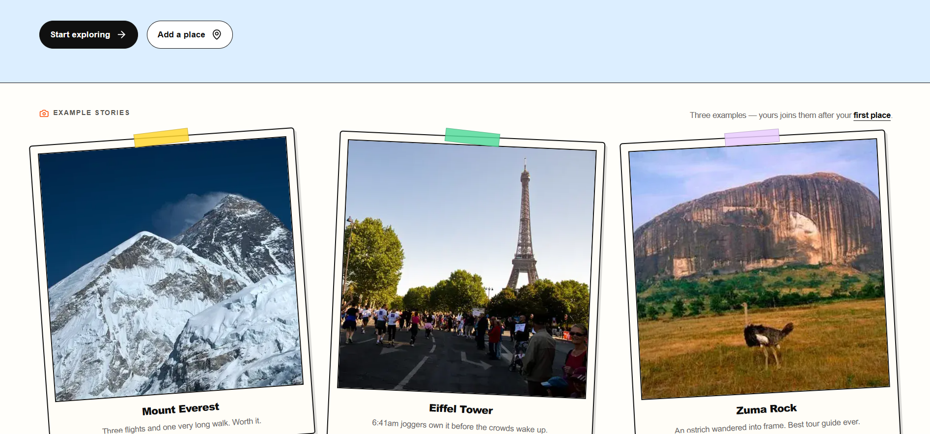
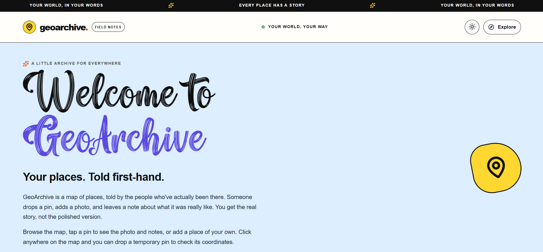
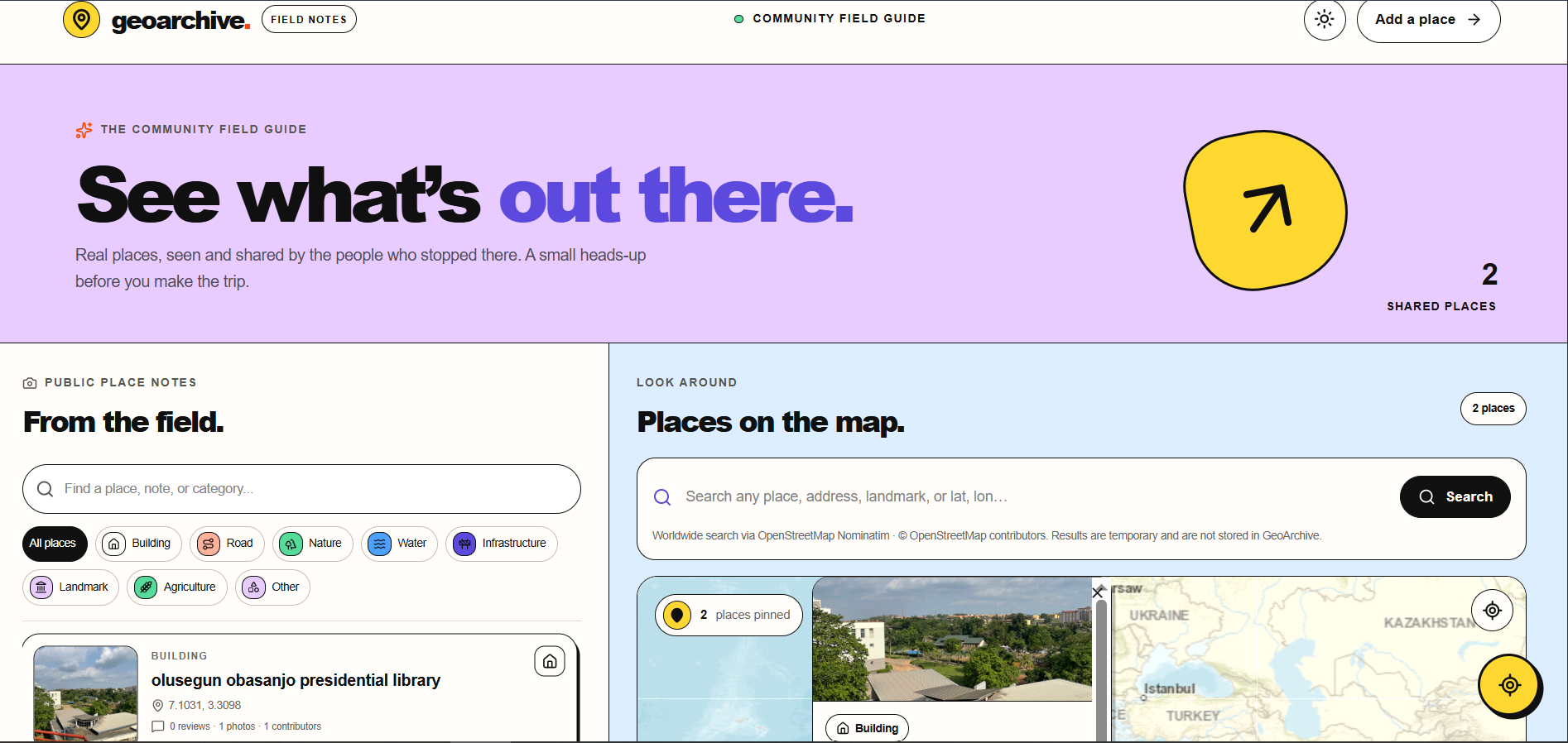
GeoArchive map, place search and community field guide interface

GeoArchive

Live

A GIS-powered web app for exploring and archiving places through photos, reviews, notes and location data.

Next.js · Supabase · web mapping

Check this out

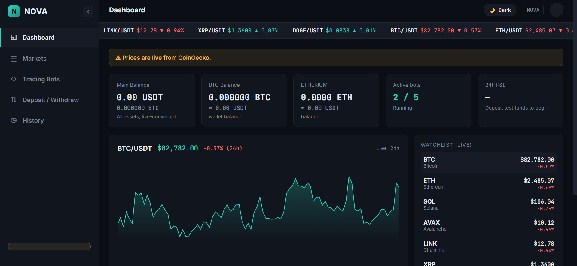
Nova-Term

Other build

A crypto trading and Web3 dashboard.

Open Parcel Map

In progress

An unofficial, interactive parcel and boundary map.

Maps

Maps and spatial analysis

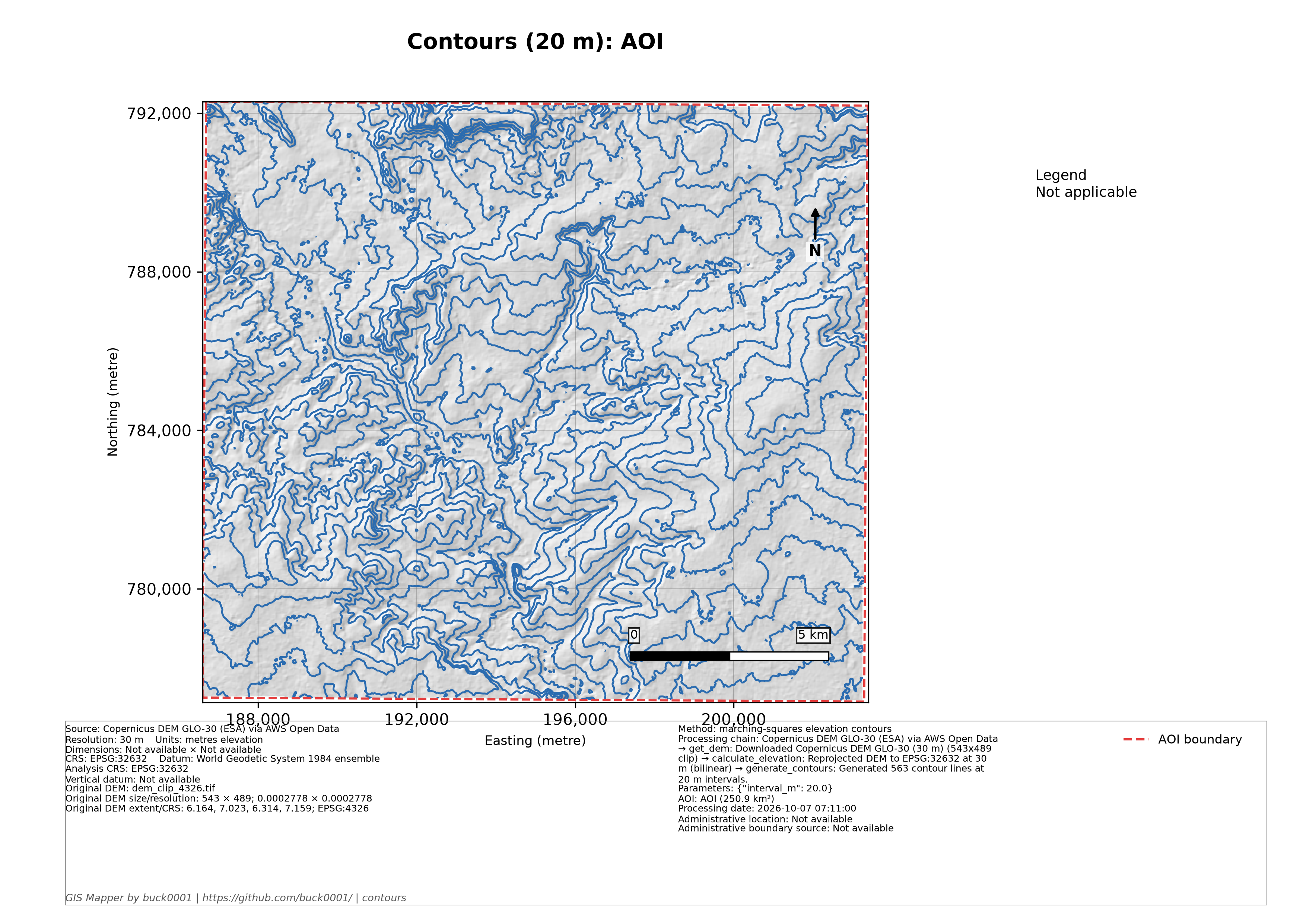
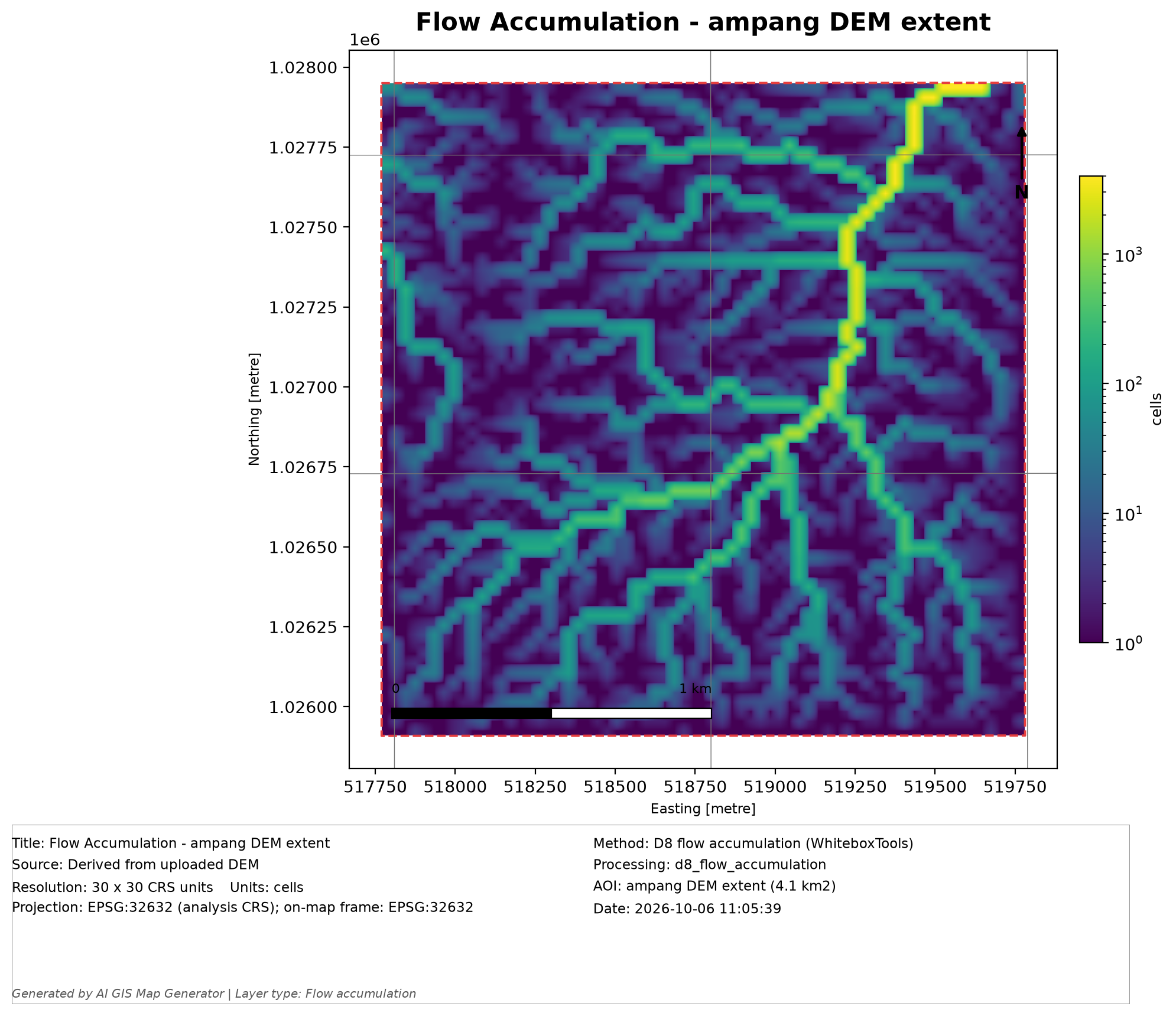
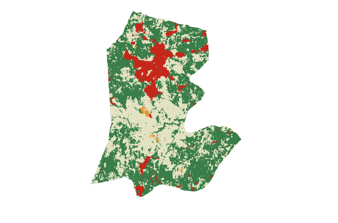
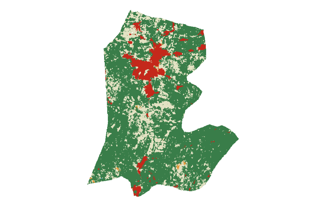
Maps from Auchi flood-risk research and GIS Mapper terrain analysis. Select a map to view it full size.

01 / 05
Web3

On-chain curiosity / Open systems

Web3 &
On-Chain.

I’m interested in decentralized technologies, blockchain ecosystems, NFTs, digital assets, and on-chain applications. I explore crypto markets and Web3 products while experimenting with how blockchain can support useful, accessible and creative products.

Contact

Let’s build
something meaningful.

Have an interesting project, opportunity, or idea? I’m always open to connecting, learning, and exploring what we can build together.